
- This event has passed.
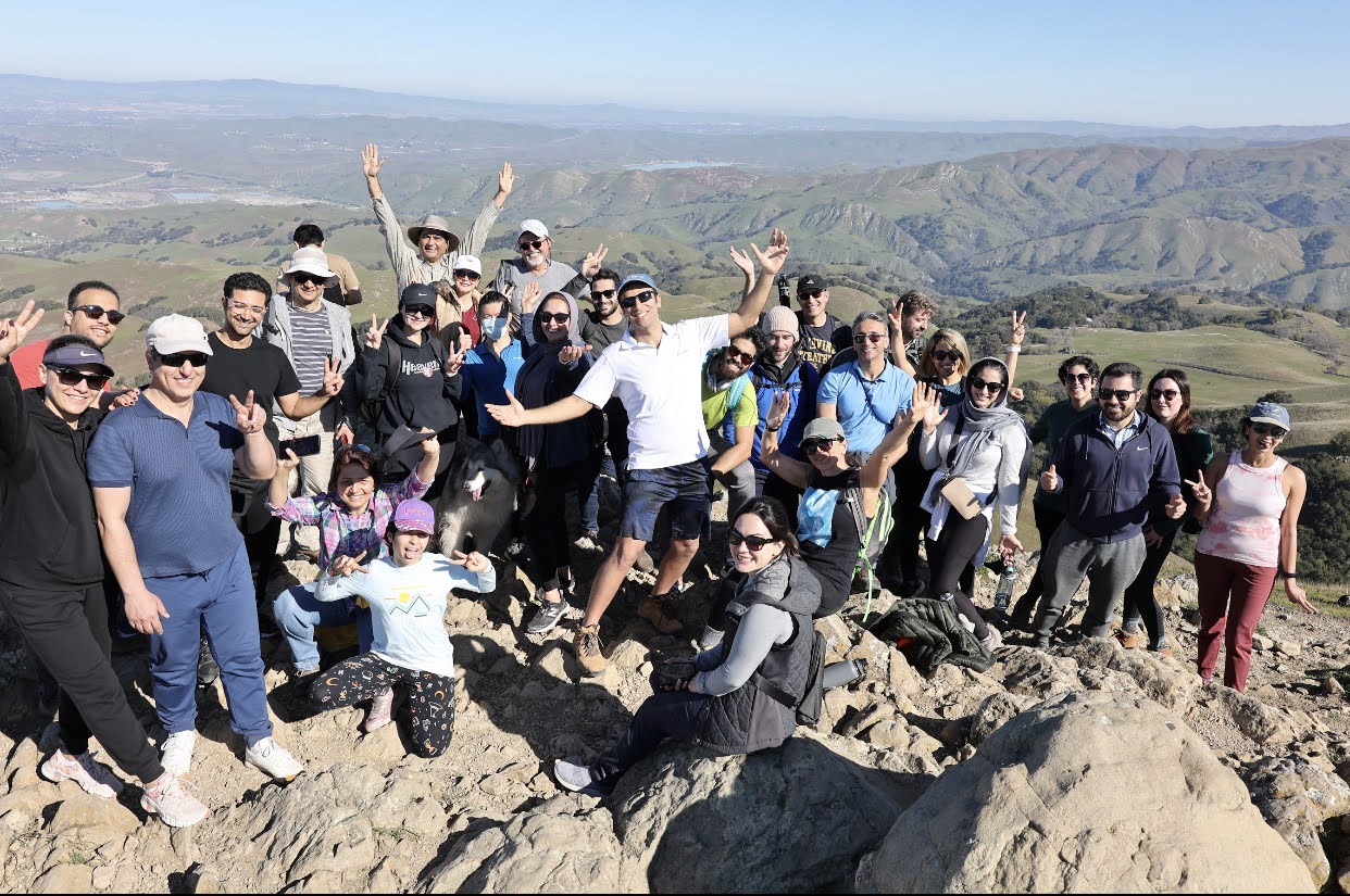
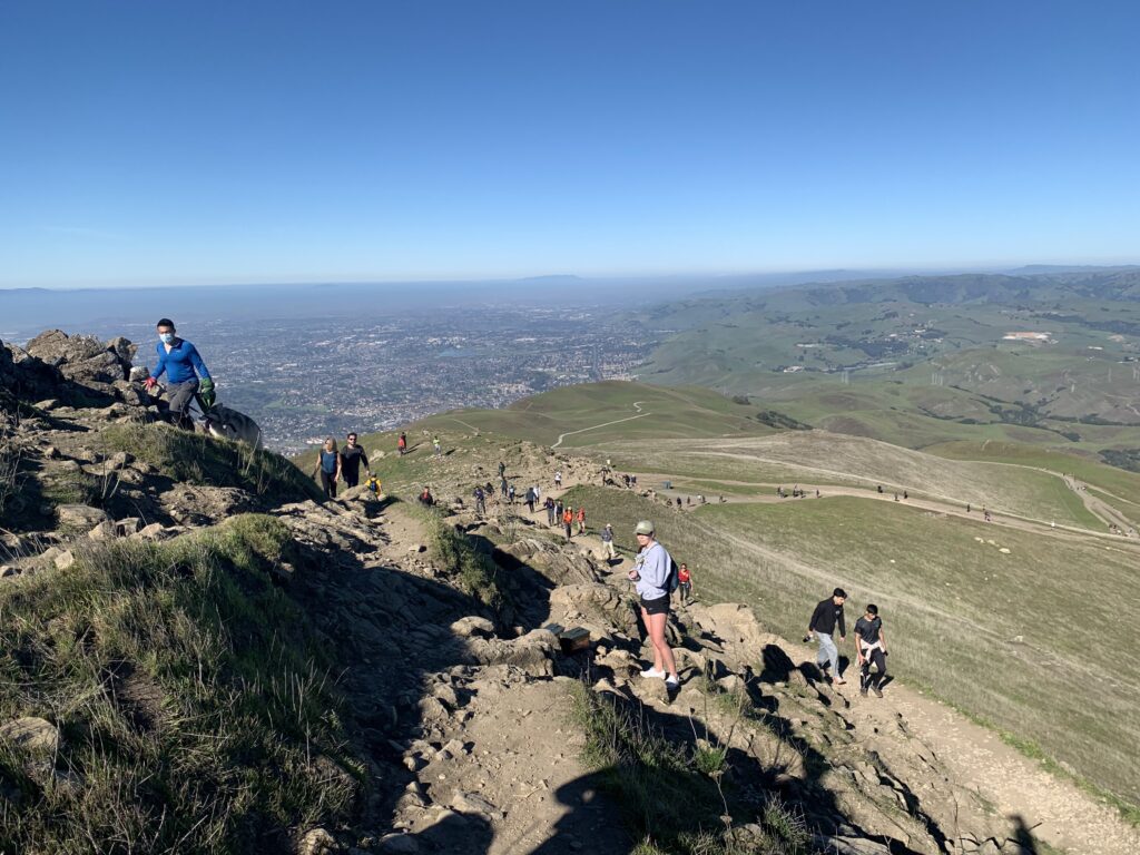
Bay Area from the top
Event: 254
Distance: ~ 7 miles
Elevation gain: 2,100 ft
Difficulty: 7 out of 10
Route type: Out & back
Gathering Location:
 Coordinates: 37.527287, -121.912585, https://maps.app.goo.gl/Hafi83NQ4FSZhjcA6
Hike Overview:
This gradual route is a less-strenuous option for hiking to the top of the popular East Bay peak. You’ll pass open slopes and expansive views that open up as you gain elevation. As the ascent continues, the ridgelines provide sweeping panoramas of the East Bay, Silicon Valley, and distant mountain ranges. Near the summit, the grade becomes steeper, but the iconic Mission Peak summit pole awaits, along with 360° views across the Bay Area. On clear days you may even glimpse San Francisco and Mount Tamalpais in the distance.
We’ll gather at 9:45 am and begin hiking promptly at 10:00 am.
Be Prepared:
- Wear sturdy hiking shoes or boots
- Bring at least 1.5 liters of water (more if hot)
- Wear sun protection: sunscreen, hat, sunglasses
- Pack light layers—wind or cooling at the top is common
- Bring snacks or light energy food
Parking:
Parking is available at Ohlone College for $4 (https://maps.app.goo.gl/
Legal Disclaimers:
By voluntarily joining us for any event, you hereby RELEASE and DISCHARGE Nature Bloomers’ organizers, hosts, and participants from any and all liabilities, claims, demands, and causes of action arising in whole or in part out of our events. Your attendance implies your consent to be in photos and videos used for social media.