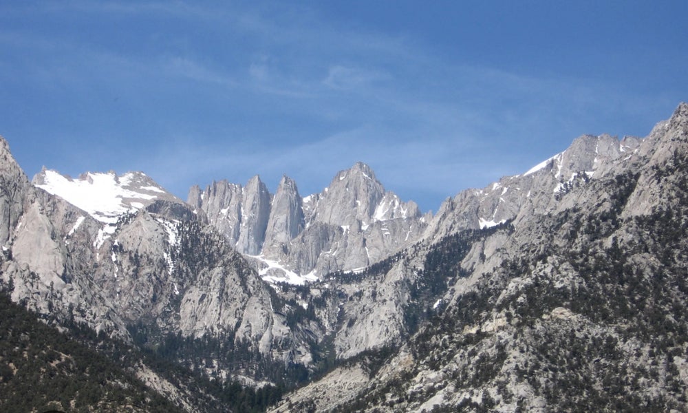
Mt. Whitney backpacking and hiking
Online eventEvent: 219 Total Elevation Gain: 6100 ft. Difficulty: 10 Overview: nThe Mt. Whitney backpacking trip is scheduled from September 27th to 29th. The highest […]

Event: 219 Total Elevation Gain: 6100 ft. Difficulty: 10 Overview: nThe Mt. Whitney backpacking trip is scheduled from September 27th to 29th. The highest […]

**Event:** 220n**Distance:** 9 milesn**Total Elevation Gain:** 2100 ft. n**Difficulty:** 8n**Route Type:** Loopn**Gathering location:** 37.9038, -122.60397n(https://maps.app.goo.gl/ooAZUgaHaesSxymCA?g_st=i)nn**Please use Google maps only for navigation.**nn**Overview:** nJoin […]
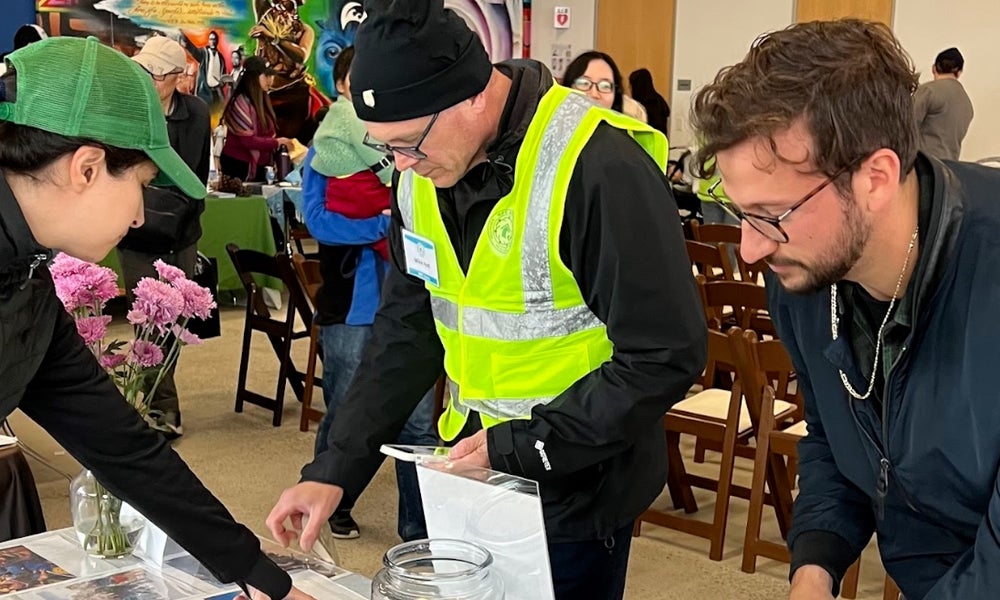
Dear Nature Enthusiasts,nnWe are excited to announce that Nature Bloomers will be having a booth in the 7th Annual Palo […]
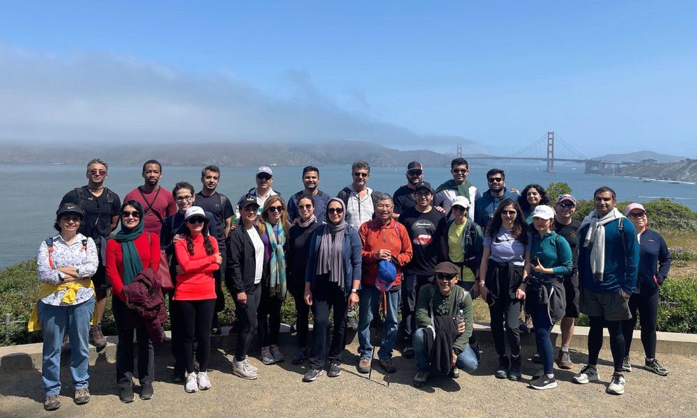
**Event:** 223n**Distance:** 3.4 milesn**Total Elevation Gain:** 554 ft.n**Difficulty:** 2/10n**Route Type:** Loopn**Gathering location:** 37.78071, -122.51172n(https://maps.app.goo.gl/i4Qag37mZ2pVRLkE9?g_st=i&utm_campaign=ac-im)nn### Overview:nnLet’s walk together, breathe deeply, and […]

**Event:** 224n**Distance:** 18 milesn**Total Elevation Gain:** 1,022 ft.n**Difficulty:** 5n**Route Type:** Loopn**Gathering location:** 37.423346, -122.170631n(https://maps.app.goo.gl/zcp3PwQ6in7mDqud6?g_st=it)nPlease use Google maps only for navigation.nn**Overview:** nThis […]
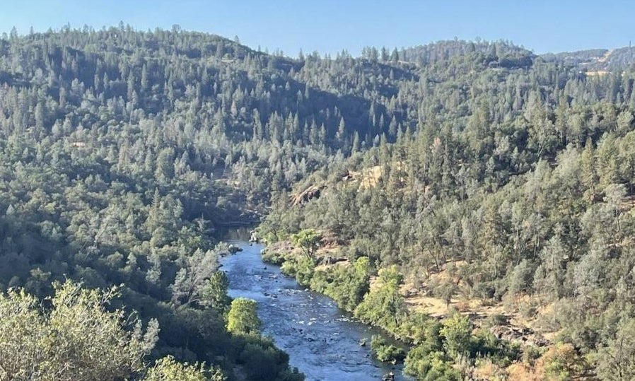
ONLY use Google Maps! Coping the address and pasting it will take you to a wrong location.nn**Event:** 225n**Gathering location:** 38.82605, -120.94779n**Distance:** […]
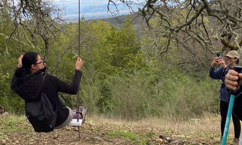
ONLY use Google Maps! n**Event**: 226n**Distance**: 5.8 milesn**Total Elevation Gain**: 750 ftn**Difficulty**: 5 out of 10n**Gathering** **coordinates**: 37.3645016683, -122.21555198nhttps://maps.app.goo.gl/ZDGFvFxXzDd82gtk8nn**Hike Overview**nJoin us […]

ONLY use Google Maps!n**Event**: 228n**Distance**: One milen**Total Elevation Gain**: 100 ftn**Difficulty**: 4 out of 10n**Gathering** **coordinates**: 37.3645016683, -122.21555198nhttps://maps.app.goo.gl/pioR6Tdautuw4x7y5nn**Overview:**nReconnect with nature […]

Reconnect with nature and refresh your mind and body with a guided Forest Bathing session, rooted in the Japanese practice […]
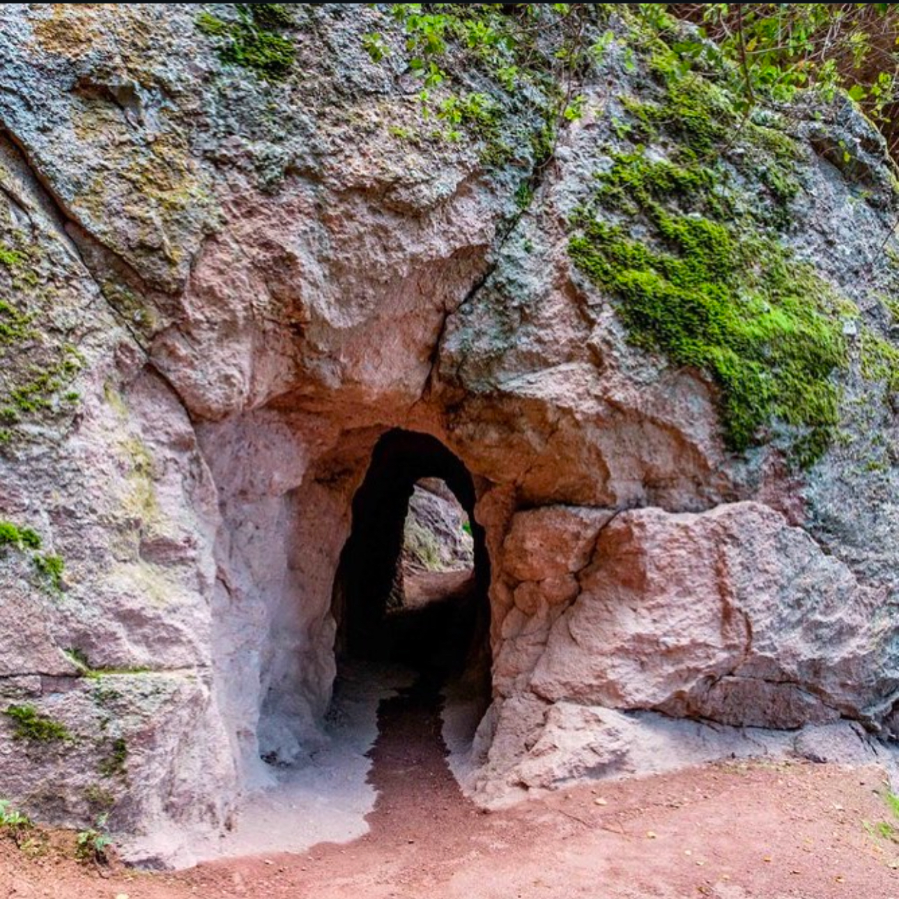
Nature Bloomers is excited to invite you on a breathtaking day-trip hike to Pinnacles National Park on Sunday, February 16! […]

Join Us for a Community Building Event: Planting Day! 📅 Date: Saturday, March 15⏰ Time: 9 AM – 1 […]

Event: 241 Date: Sunday, May 4 Meeting Time: 9:00 AM Distance: 2 miles | Elevation Gain: 505 ft | Difficulty: […]

DETAILS: Event: 242 Distance: 5.3 miles Route Type: Loop Total Elevation Gain: 505 ft Difficulty: 5 Gathering location: 39.11365, -121.27078 […]

DETAILS: Event: 243 Distance: 4.4 miles Rout Type: Out and Back Total Elevation Gain: 682 ft. Difficulty: 5 out of 10 Gathering location: (38.9159789, -121.0356738) https://maps.app.goo.gl/DiTyzRFSf6bR1Ty88 […]
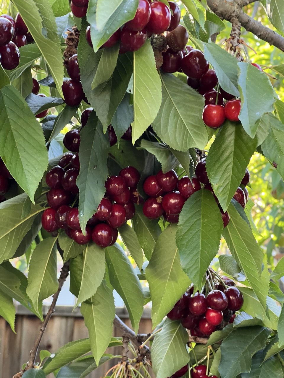
Event: 244 This is a casual, self-guided outing! There won’t be an official lead or organized group this Sunday, but […]

Event: 245 Distance: 15 miles Total Elevation Gain: 1500 ft. Difficulty: 5 Route Type: Out & Back Gathering location: https://maps.app.goo.gl/xwsc4Kg7hNpyDcuv7?g_st=it […]
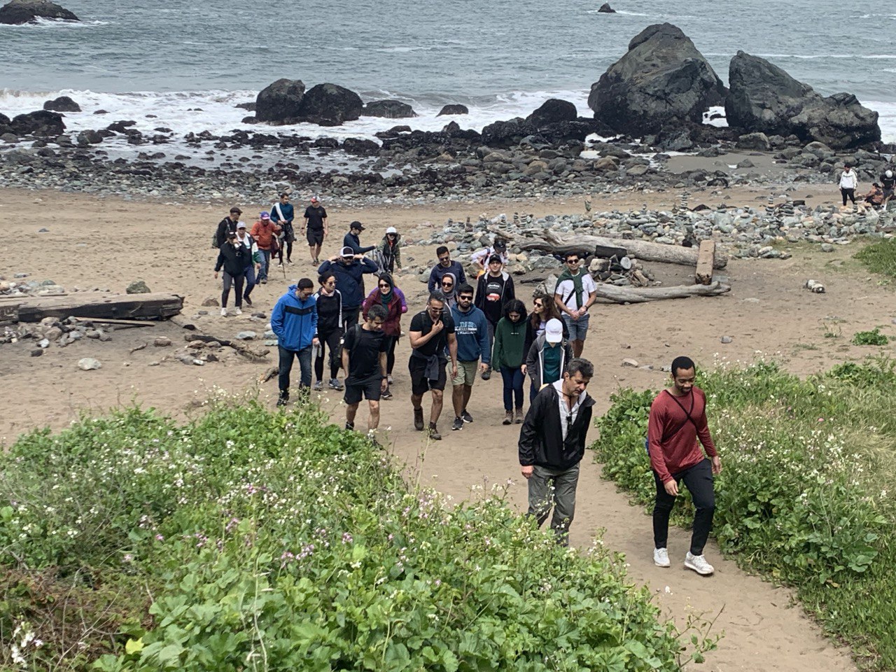
Event: 246 Distance: 6.5 miles Total Elevation Gain: 1100 ft Difficulty: 6 Route Type: Loop Gathering location: 37.8306939,-122.5249087 Please use only Google maps for […]
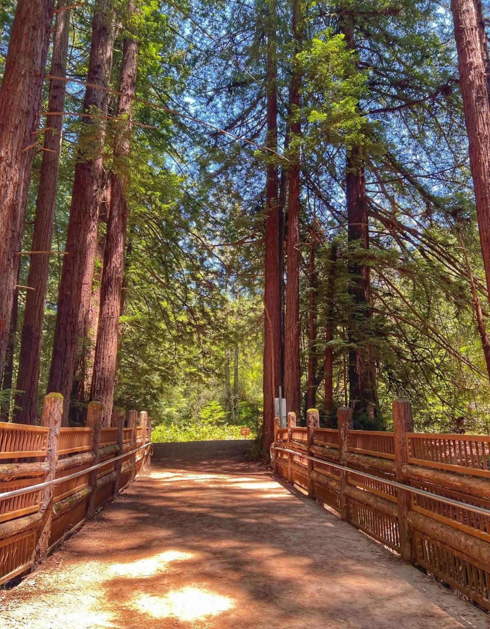
Event: 247 Distance: 5 miles Route Type: Loop Total Elevation Gain: 912 ft Difficulty: 3 Gathering location: 37.83146, -122.18525, https://maps.app.goo.gl/cgToFmCwr7Ngbb1d7?g_st=it […]
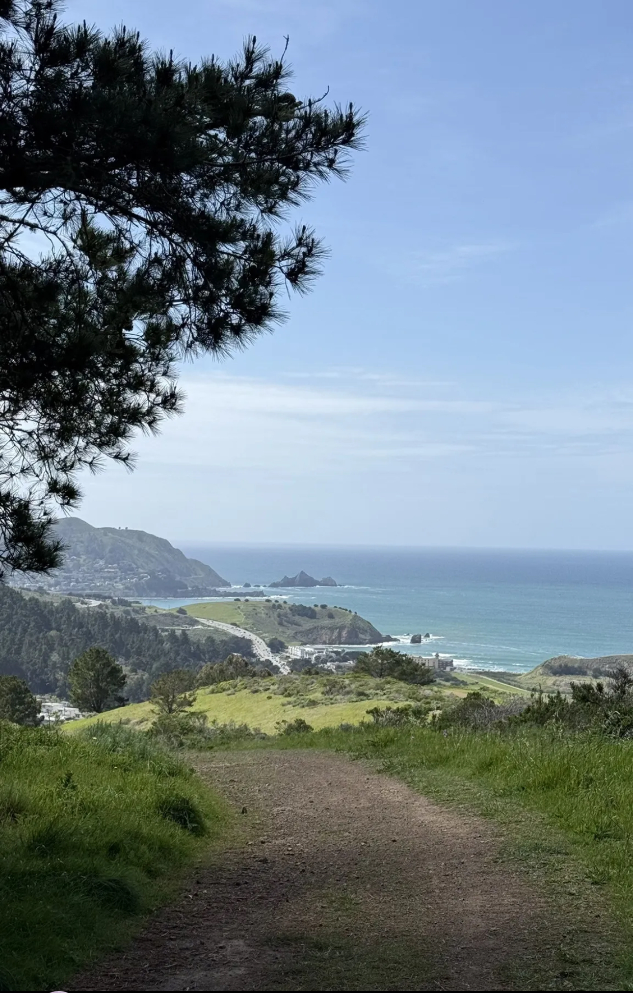
Event: 248 Distance: 4.6 miles Route Type: Out & Back Total Elevation Gain: 1085 ft Difficulty: 6 Gathering location: […]
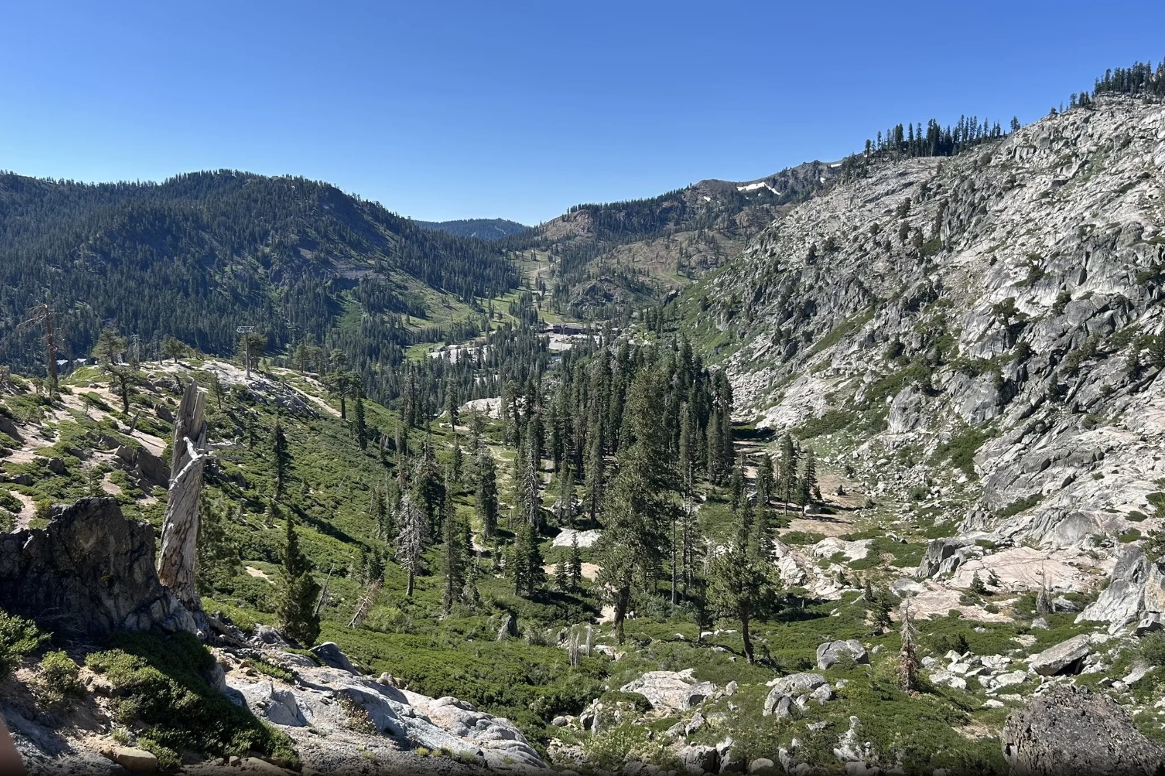
Event: 249 Distance: 4.6 miles Route Type: Looping the lakes Total Elevation Gain: 1089 ft Difficulty: 6 Gathering location: […]